On Saturday, January 29th, after a morning of birdwatching and weaving, I decided it was just too nice a day to stay inside, so I decided to head out to the Pairc (pronounced Park) area. Pairc is part of South Lewis, but North of Harris, and is on the Eastern side of the Island.
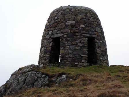
This area is well-known as an area where the people tried to stand up for their rights to the land in the 19th Century. There was a deer reserve in Pairc that had been made private, and a group of men defied the rule and hunted on the land. They were prosecuted for it, and there is now a memorial for them, in the form of a tower. There are three of these monuments to the uprisings for the land scattered around the island, and this one is my favourite. I started my visit to Pairc at the monument, taking time to climb the stairs inside and look across the landscape.

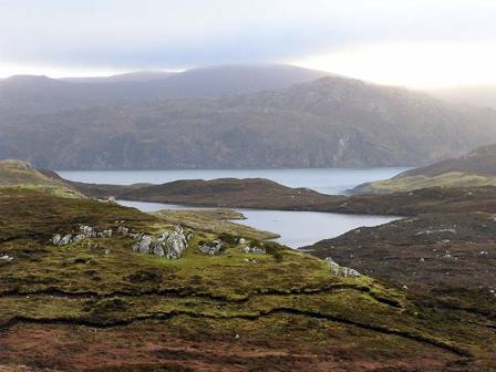
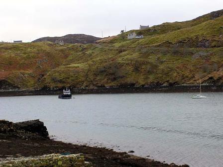
From there, I headed down the back roads to the communities in Pairc proper. It turns out Pairc is totally gorgeous if you go far enough from the main road, and it's well-named. It reminds me a lot of the "golden road" area on Hrris, with moonscapes and moors mixed in with mountains and lots of waterscapes. Descriptions and photos don't do it justice. I'd be driving along, wondering at the beauty of the reddish-brown moors in front of me, and I'd turn a corner and be faced with a whole new view of brilliantly grey stone, or of distant (or immediate) water views of breathtaking beauty.
I decided that since I had no idea how long it would take me to travel through all the roads, I would start with the most distant place and work my way back. If I didn't get done, I wouldn't have as far to go to finish some other time. So, I started by heading to the town the farthest south in the area, Orinsay.
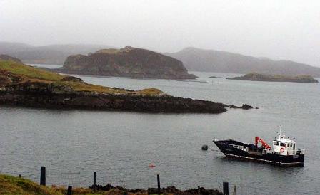
It was a great way to begin, because I got to drive though much of the interior landscape on the way and appreciate the moonscapes and moors and lochs. Things began to get much steeper suddenly, and it felt like I was on Harris rather than Lewis. I reached the peak of the hill, and suddenly I was greeted by views of the sea, with amazing peaks of islands peeking through the water -- all viewed over an immediate loch and some other land beyond. It was spectacular.

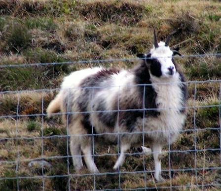
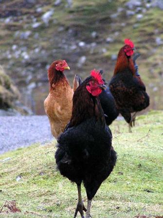
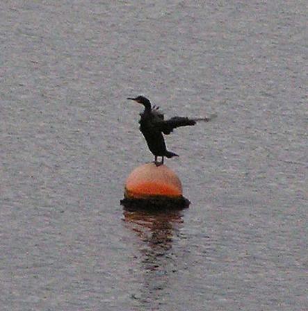
I drove to the end of the road, and as I turned around and headed out, I got greeted by two excited goats beyond the fence, and then by some expectant chickens coming from the road. They were fun! There was also a cormorant (sitting on a float, flapping) and a grey heron out in the water on my way back to the main road.
| |||
|
|
|
|
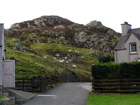
Finally, I went to the northernmost town, Cromore, where there is supposed to be an ancient Dun and there is St. Columb's Church on an island in Loch Erisort. You have to walk across a causeway at low tide to reach it, and I'd arrived with the tide quite high. It looks like there's quite a bit of it left, and I'd love to explore it sometime. It was starting to get a good bit darker by this point, though, and starting to rain, so I knew now was not the time. I also couldn't find the Dun in the dark, but I saw some Bewick's swans and more sheep.
From there I headed home. There are one or two small towns along the main
road that I didn't thoroughly explore that might be interesting, but I think
I can say I did a pretty complete exploration of that whole area.
Return to
Or read the description of the